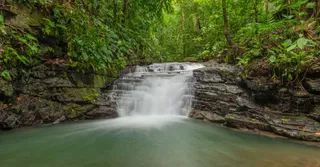
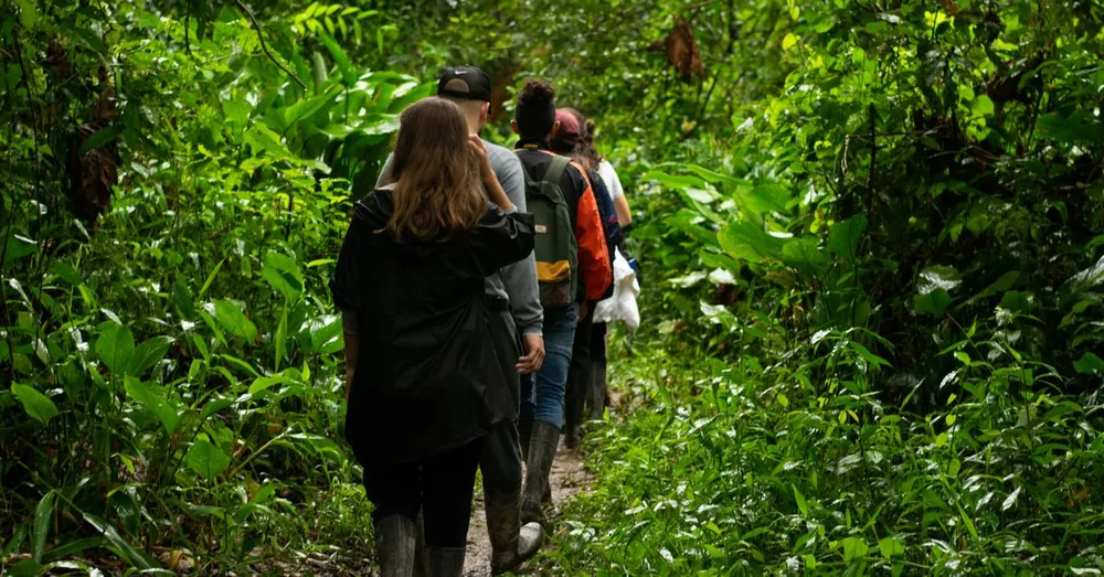
There are places in French Guiana where the asphalt simply stops and the forest takes over without warning. The Kaw Mountains are one of them. About a hundred kilometres east of Cayenne, this primary-rainforest-covered range looms over the immense Kaw marshes nature reserve. People come here to walk beneath an untouched canopy, to sleep in a carbet hanging over the void and to wake up in a sea of mist where toucans sing. Here, as a resident who has worn out his shoes on these trails, is everything you need to know before setting off.
Where the Kaw Mountains are
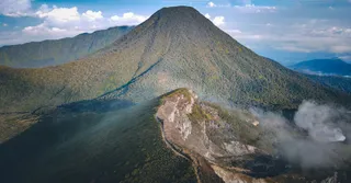
The Kaw Mountains are not a single peak but a long forested ridge that separates the coastal plateau from the marshes. They top out at around 300 metres, which may sound modest, but in equatorial forest every metre of elevation counts: the humidity, the heat and the clay soil quickly turn an ordinary slope into a serious effort.
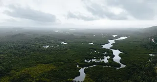
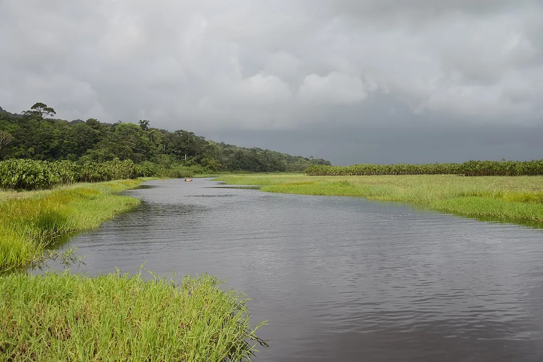
The area is part of the Kaw-Roura marshes nature reserve, one of the largest protected wetlands in France. It is a biodiversity sanctuary: black caimans, giant otters, hoatzins, elusive jaguars and a birdlife that would make any European ornithologist turn pale with envy.
How to get there from Cayenne
From Cayenne, allow roughly 1 hr 15 to 1 hr 30 of driving along the RN2 then the road to Kaw (the D6), about a hundred kilometres. The final stretch is a track winding along the ridge: stunning, but narrow and slippery after rain.
- A car is essential: no public transport serves the site. A 4x4 or a vehicle with good ground clearance is strongly recommended on the final track.
- From Félix-Éboué airport (Matoury), add 20 minutes to reach the RN2.
- Fill up in Roura: the last proper petrol station is upstream.
Local tip: leave early in the morning. The low light over the marshes below, seen from the ridge road, is one of the most beautiful in French Guiana.
The hike: what to expect
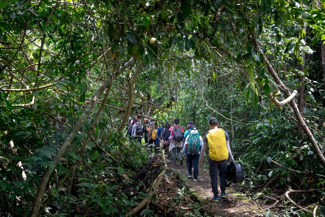
Several routes criss-cross the range. The most accessible links the welcome carbet to a viewpoint over the marshes in 2 to 3 hours round trip, on a marked trail of about 4 to 5 km. Experienced hikers can string together longer loops of 5 to 6 hours deep in the forest.
The trail profile
- Distance: from 4 km (discovery loop) to 12 km (grand loop).
- Elevation gain: 150 to 350 m cumulative depending on the route.
- Duration: 2 hr to 6 hr.
- Difficulty: moderate, but the heat and humidity (often 90%) make the exercise harder.
The trail crosses an authentic primary rainforest: giant kapok trees with spectacular buttress roots, lianas as thick as an arm, wassaï palms and a dark understorey where light struggles to reach. Silence does not exist here. It is replaced by the droning of insects, the distant cry of howler monkeys at daybreak and the hammering of woodpeckers.
What you’ll see along the way
- Columns of leaf-cutter ants carrying their neatly cut leaves.
- Blue morphos that burst out like shards of sky.
- With a little luck and a lot of silence, an agouti or a tamandua (anteater).
- In the early morning, the sonic ballet of toucans and macaws above the canopy.
The carbet at the end of the world: a suspended night
The heart of the experience is the night. On the heights of Kaw, a few equipped carbets let you sleep deep in the forest, a hammock slung under a roof of sheet metal or leaves, with no electricity or signal. This is what I call the “carbet at the end of the world”: a single point perched on the ridge, open to the void, where you fall asleep cradled by the forest.
How it works in practice
- A hammock is mandatory: you sleep in a hammock with a mosquito net, never directly on the ground. Many operators provide one; otherwise budget 30 to 50 € to buy one in Cayenne.
- A rain tarp: essential even in the dry season, a night-time downpour is always possible.
- Meals: often cooked over a wood fire by the guide (simplified awara broth, fish, Creole rice).
- Prices: a guided outing with a night in a carbet generally runs between 80 and 150 € per person, meals and guiding included. The carbet alone, self-guided, is sometimes available for 10 to 20 € a night.
Waking up in the canopy
This is the moment that justifies everything else. Just before dawn, mist rises from the marshes and drowns the forest below. The Kaw ridge then emerges like an island above a white ocean. The first rays set the treetops ablaze, the howler monkeys let out their cavernous roar and, within minutes, the whole canopy awakens. It is here, better than in any photo, that you understand why French Guiana is as much lived as it is visited.
When to go: the ideal window
French Guiana lives by the rhythm of two main seasons. For the Kaw Mountains, aim for the dry season, from mid-July to mid-November. The trails are passable, the track less treacherous and the nights in the carbet more comfortable. In the rainy season the experience is still possible, but mud, floods and mosquitoes seriously complicate the outing.
A few practical local pointers:
- Time difference: -5 hr from Paris in winter, -6 hr in summer. Handy for scheduling calls.
- Currency: the euro, as French Guiana is a French overseas department-region (DROM).
- Phone code: +594, but don’t count on any signal in the range.
- Yellow fever vaccination is mandatory to enter the territory: plan it before your trip.