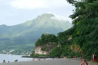
At 1,397 metres, Mount Pelée towers over the entire north of Martinique. Since its inscription on the UNESCO World Heritage List in 2023, alongside the Pitons du Carbet and their exceptional biodiversity, this volcano has drawn more and more hikers every year. But one question keeps coming up among our travellers: which trail should you take up? There are three main routes to the summit, and the choice is far from trivial. Duration, elevation gain, exposure to the wind, technical difficulty: each itinerary tells the story of a different mountain.
Having lived in the north for several years and guided dozens of friends along these trails, I offer here an honest, hands-on comparison, a far cry from generic fact sheets, to help you choose the route suited to your fitness level and to the day’s weather.
Why Mount Pelée is worth the trip
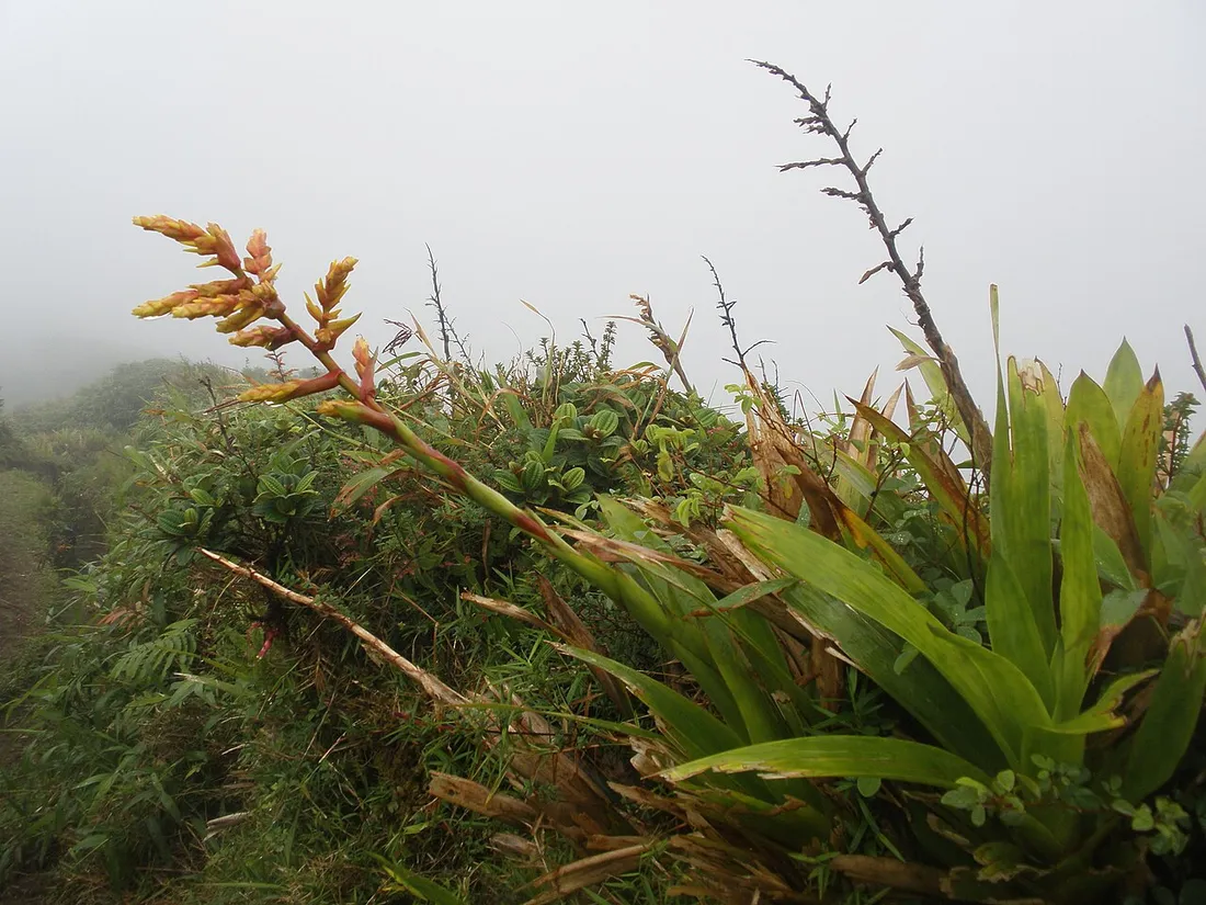
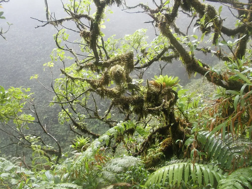
Pelée is not just a summit: it is an active volcano, monitored around the clock by the Volcanological Observatory, and a genuine pocket of coolness. While the southern beaches such as Les Salines in Sainte-Anne sit at 30 °C, the summit can drop below 15 °C with a biting wind. The vegetation is unique in Martinique: dense rainforest at the bottom, then high-altitude savanna and tree ferns, up to the mineral landscape of the summit dome.
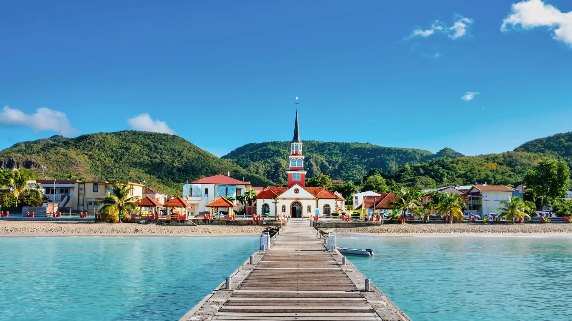
It is also a place of remembrance. In 1902, the eruption razed Saint-Pierre and claimed nearly 30,000 lives. Pairing the climb with a visit to the ruins of Saint-Pierre (the theatre, Cyparis’s cell) gives full meaning to the UNESCO listing. Allow half a day for the town and its museum.
The 3 ascent trails compared
Before the details, here is a quick overview of the three routes to the summit.
| Trail | Trailhead | Round-trip time | Elevation gain | Level |
|---|---|---|---|---|
| The Aileron | Le Morne-Rouge (car park at 1,060 m) | 3 to 4 hrs | ~550 m | Intermediate |
| The Grande Savane | Saint-Pierre / forest road | 5 to 6 hrs | ~1,000 m | Experienced |
| The Morne Macouba | Macouba (north coast) | 6 to 7 hrs | ~1,100 m | Athletic/expert |
The Aileron trail: the classic, accessible route
This is the most popular itinerary, and for good reason. The Aileron car park, above Le Morne-Rouge, already sits at more than 1,000 metres: you cover a big share of the elevation gain by car. The trail is waymarked, fitted with wooden steps for the first few hundred metres, then climbs towards the first refuge.
- Duration: 3 to 4 hours round trip to the second refuge; allow 5 hours to push on to the dome.
- Elevation gain: about 550 m to the second refuge.
- Difficulty: intermediate. Good physical condition is enough, with no exposed technical sections up to the refuge.
- Highlight: quick panoramas over the Caribbean coast and the Atlantic within the first hour.
This is the route I recommend for a first ascent or for families with athletic teenagers. Set off early: before 7 am you have the best chance of a clear window before the clouds latch onto the summit.
The Grande Savane trail: a forest immersion from the west
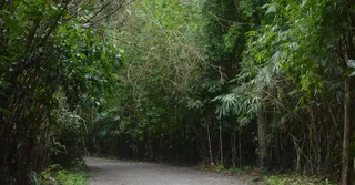
Less frequented, this trail starts on the western slope, reached from the heights above Saint-Pierre via a forest road. It offers a more gradual and far wilder climb, through the rainforest, before emerging onto the Grande Savane plateau, a vast high-altitude expanse often bathed in mist.
- Duration: 5 to 6 hours round trip.
- Elevation gain: about 1,000 m.
- Difficulty: experienced. The terrain is muddier, slippery after rain, and the waymarking sparser than on the Aileron.
- Highlight: a sense of isolation, remarkable biodiversity, plunging views over Saint-Pierre and the Caribbean Sea.
This route is my favourite for self-reliant hikers who want to escape the crowds. The end of the forest road, however, may call for a vehicle with a bit of ground clearance: check on the state of the track, which varies with the rains.
The Morne Macouba trail: the route for the hardened
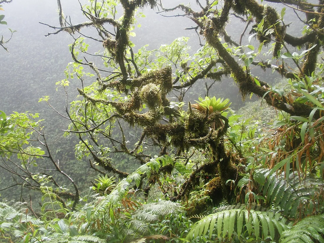
This is the most demanding and the longest route, via the north-eastern slope from the town of Macouba. It follows narrow ridges, crosses zones of tree ferns and combines several climbs and descents before the dome. Wind and humidity are constant here.
- Duration: 6 to 7 hours round trip, sometimes more.
- Elevation gain: about 1,100 m cumulative.
- Difficulty: athletic to expert. Exposed sections, frequent fog, sometimes tricky navigation.
- Highlight: the most spectacular and most complete traverse of the massif.
Reserve this for experienced hikers, ideally accompanied by a local mountain guide. In overcast weather it is better to turn back: route-finding on the ridges becomes risky.
Weather and the best time to go: the deciding factor
On Pelée, the weather trumps everything. The summit is in the clouds more than 250 days a year. A few rules I apply systematically:
- Favour the Carême (December to April), the dry season. Statistically it is the best period to land a clear summit.
- Set off at dawn. The trade-wind clouds rise from mid-morning. A 6–7 am start maximises your chances.
- Check Météo-France Antilles the day before and confirm there is no alert from the Volcanological Observatory.
- Wind and chill: pack a fleece and a windbreaker even at 30 °C down below. The temperature swing at the summit always takes people by surprise.