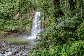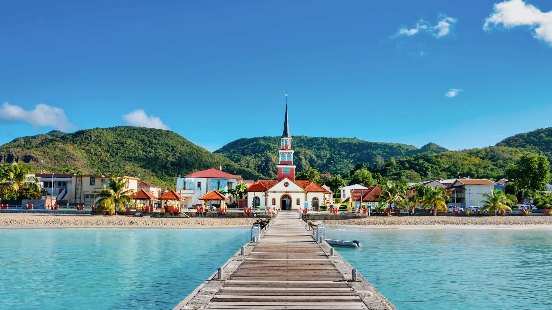
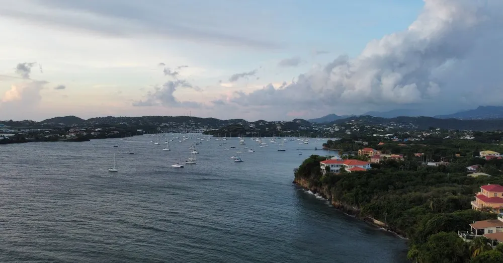
People come to Martinique for the beaches and leave marked by its trails. A Mount Pelée hike at daybreak, a crossing of the Trace des Caps facing the trade winds, the dizzying passage of the Canal de Beauregard: these hours on foot often turn out to be the most memorable. But in the tropics, improvising comes at a price. As island residents and regulars on its great trails, every season we watch under-equipped travellers turn back, or even trigger a rescue. This guide pulls together the health and safety checklist for setting out with confidence on the island’s most demanding hikes, along with a detailed route description of the volcano’s most popular trail, the Aileron.
Assessing the real difficulty of a hike in Martinique
The first mistake is to judge a trail by its distance. Here, humidity, sharp elevation gain and heat make the difficulty of a Martinique hike, far more than the kilometres: a 7 km tropical walk drains you like a 15 km one back in mainland France.
To put the three great classics in perspective:
- Mount Pelée (Aileron trail): roughly 580 m of elevation gain, 4 to 5 hours round trip, slippery volcanic terrain. Moderate to strenuous level, accessible to a fit walker.
- Trace des Caps: little elevation gain but 12 to 22 km fully exposed to the sun, with no shade or water. The difficulty is thermal, not technical.
- Canal de Beauregard (Fonds-Saint-Denis): 5 easy, flat kilometres, but alongside an irrigation channel with a drop of several metres on one side. Not recommended for those prone to vertigo or for young children.
Before choosing, be honest about your fitness. Jet lag (Martinique is 5 hours behind Paris in winter, 6 hours in summer) and a first day of travel take their toll: never schedule Pelée the day after landing at Aimé Césaire airport (Le Lamentin).

Why choose the Aileron trail for Pelée
Mount Pelée peaks at 1,397 metres and dominates the entire north of the island. Three main routes lead to it: Grand Rivière (the longest and wildest), Morne Macouba, and the Aileron. The latter starts from the Aileron refuge car park, in the town of L’Ajoupa-Bouillon, at around 815 metres of altitude. It is the highest starting point, which reduces the elevation gain and the walking time: the best effort-to-reward ratio.
In concrete terms:
- Elevation gain: about 580 metres to the summit (Le Chinois).
- Round-trip distance: 7 to 8 km depending on the variant chosen.
- Duration: 4 to 5 hours round trip for an average walker, breaks included.
- Difficulty: moderate to strenuous, with improved sections (wooden steps, handrails).
The trail is well marked by the Martinique Regional Nature Park. You won’t get lost, but the volcanic terrain—slippery and exposed—calls for caution.
The Aileron route step by step
From the Aileron car park to the first refuge
The start is from the car park at the end of the Mount Pelée road (D39), reachable by car from the village of L’Ajoupa-Bouillon in about twenty minutes. Allow roughly 1 hr 15 of driving from Fort-de-France via the N3 (route de la Trace), a winding but magnificent journey through the rainforest.
The first section climbs steadily through low vegetation and tree ferns. In 30 to 40 minutes, you reach the first refuge, a simple sheet-metal shelter where many take a first break. The panorama already opens onto the Caribbean coast and, on a clear day, onto the ruins of Saint-Pierre down below.
Crossing the plateau and the climb to the second refuge
Beyond the first refuge, the trail crosses a windier plateau before tackling a steeper climb. This is where the terrain becomes typically volcanic: scoria, compacted ash, black rock. The second refuge marks two-thirds of the route. Most hikers who are in a hurry or short on training stop at this point, already splendid.
The final ascent to Le Chinois
The last part is the most demanding. You climb into the caldera, skirt the 1902 dome (responsible for the eruption that destroyed Saint-Pierre) and reach the summit of Le Chinois, the high point. This section can be drowned in clouds: don’t be disappointed if the summit veils over. The reward, when the sky clears, is a 360° view over all of Martinique, from the Caravelle peninsula to the Pitons du Carbet.
Mountain weather, the number-one factor
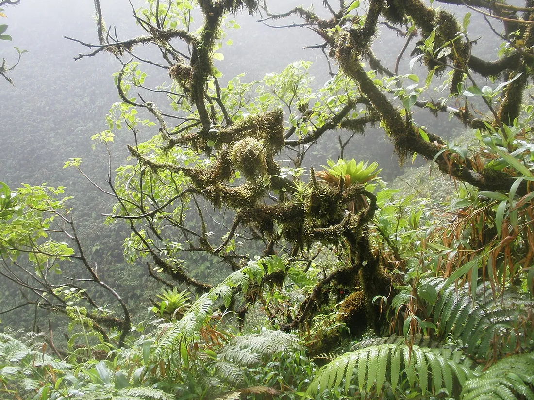
This is the point we hammer home on every stay: Mount Pelée makes its own weather. By the sea it’s 30 °C and full sun; at the summit, at 1,397 m, you can find yourself in thick fog at 13 °C, in a wind fierce enough to knock you over. Understanding this mechanism changes everything for a successful Pelée ascent.
A few reliable markers, valid too for the Pitons du Carbet:
- Humidity rises from the valleys: fog sets in almost systematically around 10–11 a.m. on the northern peaks.
- Showers are brief but violent; they turn the volcanic scoria very slippery within minutes.
- The volcano is monitored around the clock. The yellow alert level does not ban hiking, but the day before, check the forecast dedicated to the volcano and the alert status of the Volcanological Observatory.
On the coast (Trace des Caps, Savane des Pétrifications), the problem is reversed: no fog, but a blazing sun reflected off the pale rock, with heatstroke as the real danger.
The favourable season: aim for Lent
The right calendar does half the work. The dry season, the Carême (Lent), from December to April, offers clear mornings, firm trails and a smoother sea for combining hiking and swimming: the window we recommend without hesitation for the great trails.
Conversely, the wet season (June to November) waterlogs the ground: the clayey sections of Pelée become ice rinks. This period also covers the hurricane season: keep an eye on the alert bulletins and stay flexible. Note finally that carnival (February–March) falls in the heart of the dry season: ideal for hiking, but accommodation goes fast, so plan ahead.
The timing rule: set out early, always
On a Mount Pelée hike as on the Trace des Caps, the secret comes down to one word: the cool of the morning. Here is the window we apply systematically.
- Set out between 6 and 7 a.m. You climb or walk before the heat and reach the high points before the clouds.
- Aim for the summit before 9:30–10 a.m. Beyond that, the risk of cloud cover at the summit soars, and in the South it’s a furnace.
- Be back before 2–3 p.m. Afternoon showers are frequent and night falls quickly and early in the tropics, around 6 p.m. all year round.
Set your alarms to local time (dialling code +596), not to your watch still on Paris time: a classic mistake that makes you miss the morning window.