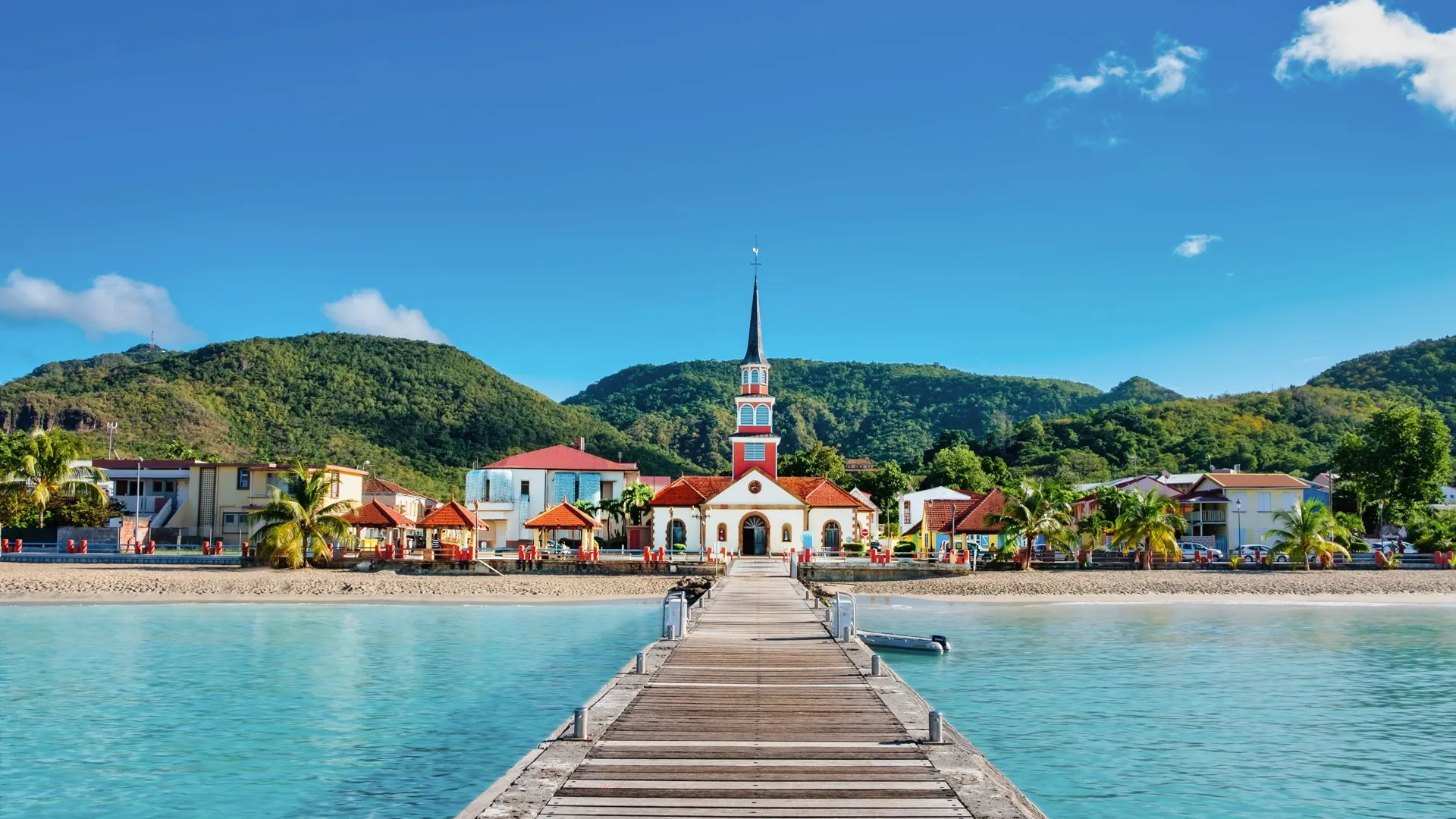
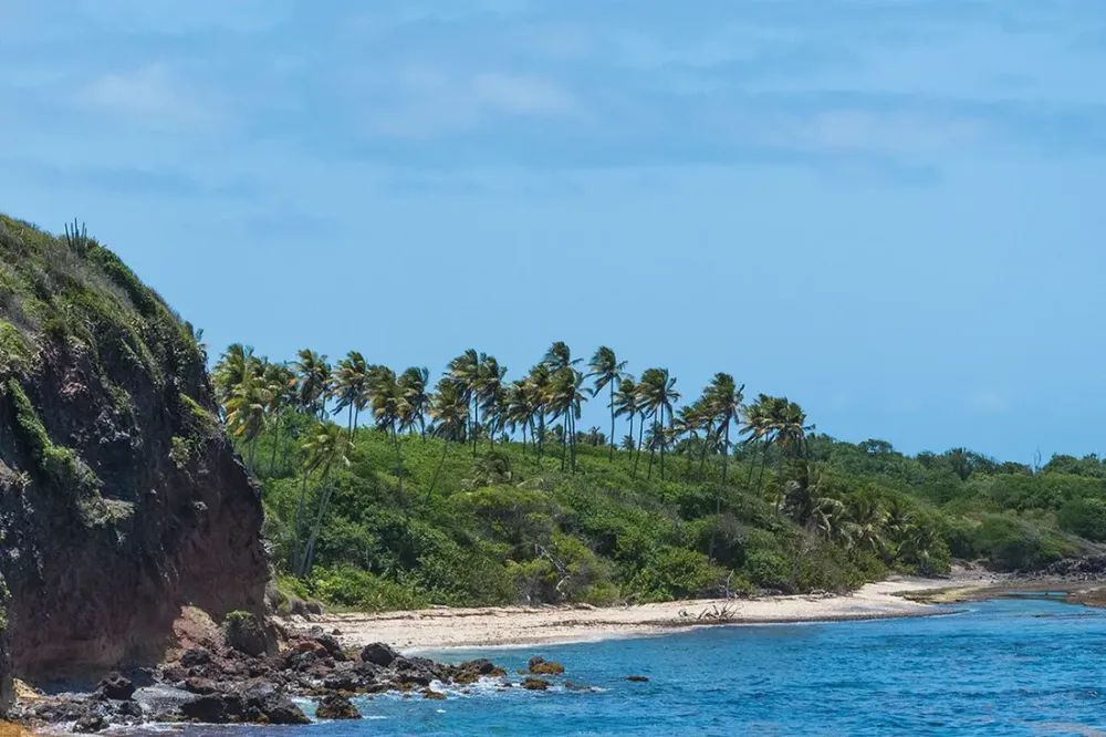
The Trace des Caps remains one of the best-kept secrets of southern Martinique. While visitors crowd onto Les Salines, this coastal trail unfolds more than 20 km of wild shoreline, turquoise coves and arid savannas swept by the trade winds. After walking it many times, section by section, here is a practical guide to hiking it smartly, without getting caught out by the sun or the distance.
The Trace des Caps at a glance
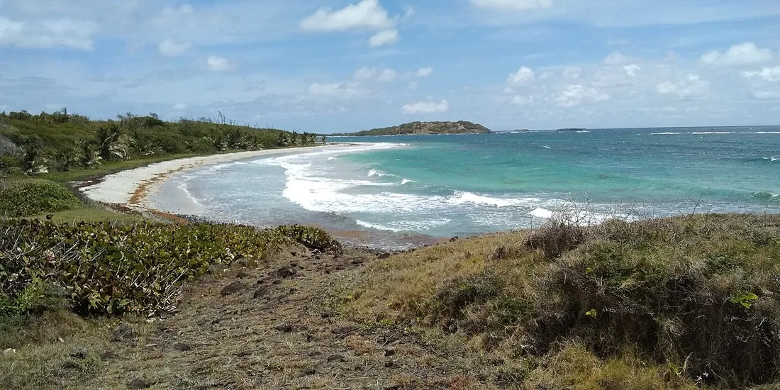
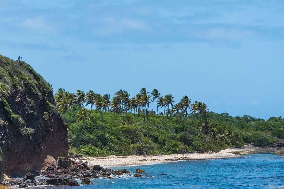
The Trace des Caps refers to the coastal trail that roughly links Sainte-Anne to Le Marin, running along the southeastern tip of Martinique. It is one stretch of the famous coastal path, but its reputation rests above all on its diversity and the headlands it strings together — Cap Ferré, Cap Macré, Cap Chevalier — separated by coves of pale sand: you go from a mangrove to a crystal-clear lagoon, then to a desert plateau worthy of a western, all in a few hundred metres.
A few useful markers before you set off:
- Total distance: about 22 km from Les Salines beach to Le Marin, but most hikers cover only a 5 to 12 km section.
- Duration: allow 30 to 45 minutes per kilometre on this rocky terrain, so 3 to 5 hours for a fine half-day.
- Elevation gain: low but repeated, with short, dry and slippery climbs between each cape.
- Difficulty: technically easy, but sun exposure and the lack of shade make it demanding.
The waymarking is generally good (yellow marks of the short-hike paths and the boundary markers of the Conservatoire du littoral, owner of these areas), but some junctions leading to private coves can be confusing. An offline mapping app (such as IGN or OpenStreetMap) is a real plus.
The main stages of the trail
From Sainte-Anne to the Savane des Pétrifications
The most logical starting point is the Les Salines car park, in Sainte-Anne. You first follow the Anse à Prunes and the Étang des Salines, then the landscape shifts abruptly.
The Savane des Pétrifications is the highlight of this first section: a lunar plateau of reddish volcanic rock, candle cacti and petrified wood, where the vegetation thins to a dry savanna. You’d think you’d been dropped onto the set of a tropical western. It’s also the most exposed zone: no shade, constant wind, mineral ground that throws back the heat. Magnificent early in the morning, stifling at noon.
Allow about 1 hr 30 of walking one way from Les Salines to reach the heart of the savanna.
Cap Ferré and Cap Macré: hidden coves and calm waters
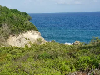
Heading further northeast, the trail alternates low cliffs and sheltered coves around Cap Ferré and then Cap Macré, the latter also reachable by car from Le Marin via a small road. This is the most rewarding section for anyone who loves getting in the water: the fringing reefs protect shallow pools with white sandy bottoms, perfect for mask and snorkel.
Cap Macré is ideal for a swim break at the midway point, and makes a good intermediate entry point. A few local families come here at the weekend, but during the week you’ll often have a cove to yourself. Remember to bring a mask and snorkel: the seagrass beds sometimes shelter green turtles and reef fish.
Cap Chevalier and Îlet Chevalier
Further north still, Cap Chevalier closes the route on the Le Marin side. Facing the coast, Îlet Chevalier rises a few hundred metres offshore, reachable by strong swimmers or by kayak. The lagoon there is exceptionally calm and clear.
This is the classic stopping point to end the hike: you’ll find a car park, a few seasonal beach snack bars and somewhere to cool off. Many walkers organise a two-car shuttle (one at Les Salines, one at Cap Chevalier) to avoid the full round trip.
Managing water and sun on arid terrain
This is the point we stress the most, because this is where the real trouble lies. The Trace des Caps crosses a dry environment, with no drinking-water points and very little shade.
Our field-tested recommendations:
- Water: at least 1.5 L per person for a half-day, 2.5 to 3 L if you go the whole way. There is no fountain.
- Timing: start at dawn (6:30 - 7:00 am) or in the late afternoon. Avoid the 11 am - 3 pm window, especially in the dry season.
- Protection: a hat or cap is essential, plus sunglasses, factor-50 sunscreen reapplied, and ideally a UV-protection t-shirt for the long open stretches.
- Footwear: trail running shoes or closed shoes. The rocky ground and the manchineel trees (toxic trees along the shore) make flip-flops risky.
- Flora and fauna: never shelter under a manchineel tree if it rains (its sap burns the skin), and watch out for sea urchins in the coves.
The best time is the Carême, the dry season from December to April: trails are passable, skies are clear, the sea is calmer for snorkelling. In the wet season, some passages become muddy and slippery, and tropical storms can take you by surprise. Also check for sargassum strandings on the Atlantic side, which sometimes close off swimming in certain coves.
Recommended itineraries by your level
Not everyone wants to swallow 22 km under the sun. Here are three formats that work well:
- Discovery (2 hrs, ~5 km): Les Salines → Savane des Pétrifications, there and back. Perfect for grasping the wild atmosphere without exhausting yourself.
- Half-day swim (3 to 4 hrs, ~9 km): Les Salines → Cap Macré, with a snorkelling break, returning by shuttle if possible.
- Grand crossing (5 hrs+, ~12 km): Les Salines → Cap Chevalier, for seasoned walkers well stocked with water.
To reach the trailheads, a car is strongly recommended: Martinique is 80 km long, and public transport serves these southern tips poorly. Allow 20 to 30 minutes’ drive between Sainte-Anne and Cap Chevalier.