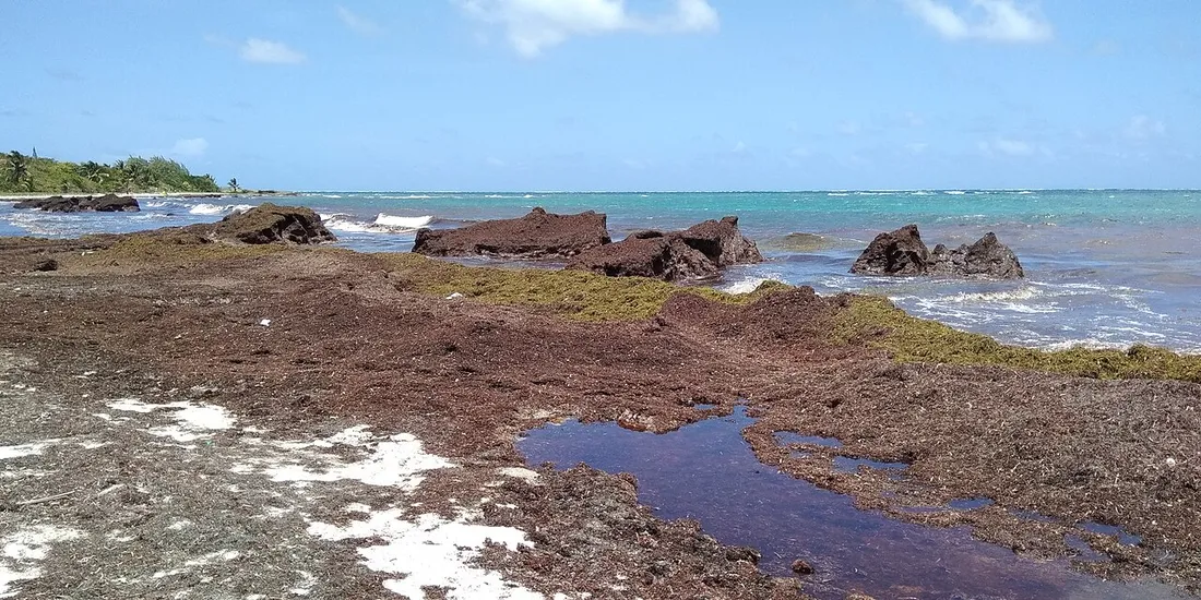
“We booked a dream week and the beach below smelled of rotten eggs.” This message from a traveler who ran into a massive landing has become the first point we raise with our guests. Sargassum in Martinique is neither a permanent disaster nor a trivial detail: it consists of brown algae that drift in from the Atlantic and wash up on certain coasts at certain times of year. The good news, after years of organizing stays on the island, is that the phenomenon is largely predictable — provided you know where to look and when to come. With a few simple geographic reference points and two or three forecasting tools, you’ll avoid the algae in the vast majority of cases. Here is the map and the calendar we wish someone had given us.
Where sargassum comes from (and why it changes everything)
Sargassum does not grow around Martinique. It originates in a vast floating mass in the tropical Atlantic, the “great sargassum belt,” between West Africa and Brazil. Driven by the easterly trade winds, these rafts of algae cross the ocean and arrive from the east. That is the key to everything: in Martinique, sargassum first strikes the side that faces the Atlantic.
In practical terms, remember three things:
- It is natural algae, not chemical pollution. Fresh and floating at sea, it is harmless.
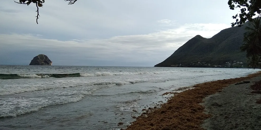
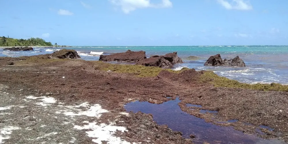
- The problem arises on land: as it rots on the sand, it releases hydrogen sulfide (the rotten-egg smell) and ammonia. It is this decay, not the fresh algae, that creates the nuisance.
- The arrival depends on the wind of the moment, so it varies from one week to the next — hence the value of the forecasting tools below.
For context: Martinique is a French overseas department (DROM) of about 360,000 inhabitants, capital Fort-de-France, euro currency, -5 h in winter and -6 h in summer relative to Paris, dialing code +596. The island is barely 70 km long, and yet its two coasts experience sargassum very differently.
Atlantic coast versus Caribbean coast: the sargassum map
If you remember only one sentence: sargassum arrives from the Atlantic; the Caribbean side is overwhelmingly spared. Same logic as for swell and currents — this is your main decision-making lever.
The Atlantic side (east): the exposed zone
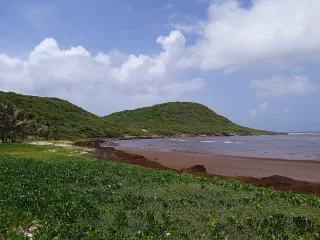
This is where the landings concentrate, sometimes spectacularly. The Atlantic coast and the enclosed bays that trap the algae are the most affected:
- Le François and Le Robert: superb white sandbanks, but very exposed during major landings.
- Le Vauclin, Le Marin (head of the bay) and certain coves of Cap Chevalier.
- La Trinité / Tartane and the Caravelle peninsula, on the windward side.
- The far south Atlantic: Cap Macré and the Baie des Anglais toward Sainte-Anne.
These towns are not to be avoided all year round — outside a landing, the water there is sublime. But if you stay on the Atlantic side during sargassum season, plan a fallback on the Caribbean side for the day.
The Caribbean side (west and southwest): the refuge
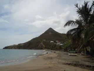
Sheltered from the swells coming from the east, the Caribbean coast rarely receives sargassum, and in far smaller quantities. These are my reliable anti-sargassum choices:
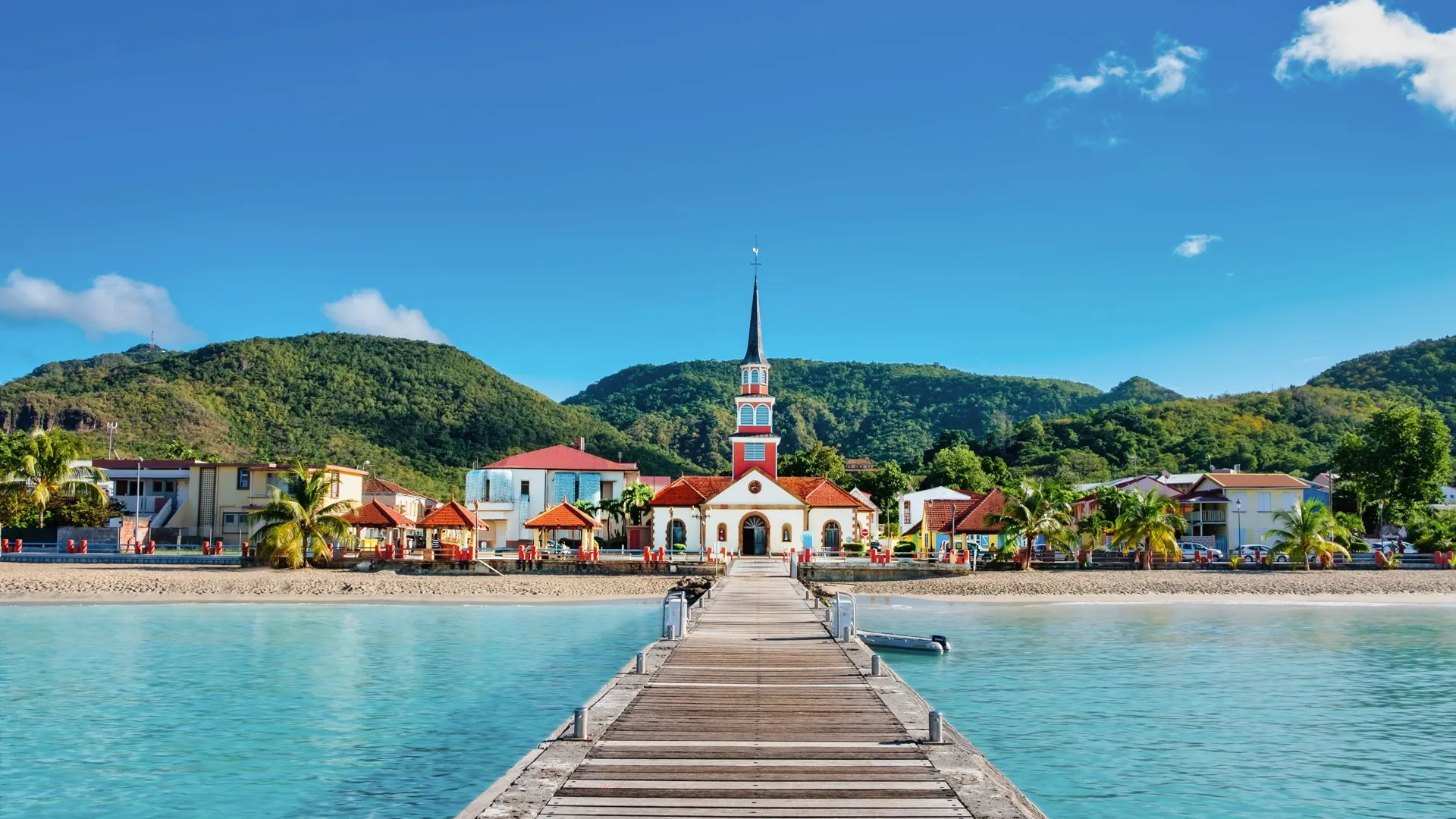
- Les Anses-d’Arlet: Grande Anse, Petite Anse, Anse Dufour and Anse Noire (black sand).
- Les Trois-Îlets: Anse Mitan, Anse à l’Âne; Le Diamant on the sheltered side.
- Sainte-Anne on the Caribbean side: the Grande Anse des Salines is almost always clear, as is Pointe Marin.
- Saint-Pierre and Le Carbet on the northern Caribbean coast, with black volcanic sand.
That is why we advise our “beach first” travelers to base themselves on the Caribbean side: you swim with no nasty surprises, and you visit the Atlantic on a day excursion. On that sheltered side, the Horizon Caraïbes apartments, with their panoramic sea view and pool at Les Trois-Îlets, are the kind of base that keeps the beach question simple all week.
When the sargassum comes: the month-by-month calendar
The question “which beaches to avoid” is inseparable from the when. There is a seasonality, even if every year has its surprises. Here is the rhythm we observe — to be taken as a trend, not a guarantee.
- December to March: the calmest period for landings — and it is also the Lenten dry season (carême), the best window to visit. Massive landings are rare.
- April to May: the build-up begins, with the first rafts visible on the Atlantic.
- June to October: the statistical peak. Big landings are most likely on the Atlantic side, with some very heavy weeks and others nearly clean depending on the wind.
- November: a gradual lull and a return to a more forgiving situation.
The overlap is valuable: the low tourist season (summer–autumn) coincides with the sargassum peak on the Atlantic side, while the high dry season (December–April) is the quietest. Coming in summer is not a reason to give up, but a reason to choose your coast carefully and to check the forecast the day before.
A wind logic to understand
Beyond the calendar, what triggers a landing within 24 to 72 h is the direction of the trade winds. A sustained easterly wind pushes the rafts toward the Atlantic; a wind that swings to the south can spare a bay that is usually affected. Two beaches just 5 km apart, on the same side, can thus show opposite situations on the same morning.
The sargassum forecasting tools to know
This is where the difference between enduring and anticipating plays out. Several resources allow real sargassum forecasting in the Caribbean, and we check them reflexively before our arrivals.
- The landing forecast bulletins for Martinique: they estimate, a few days out, the risk of a landing by coastal sector. This is the foundation.
- Community reporting apps: residents and visitors note the state of beaches in real time, photo included. Ideal for confirming the evening before.
- Beach webcams and local social-media groups: nothing beats a same-day image.
- Your hosts on site: often the most reliable channel, as they know the state of the sector day by day.
Our morning reflex in season: a glance at the bulletin, another at a Caribbean webcam, and the choice of beach is made in two minutes.