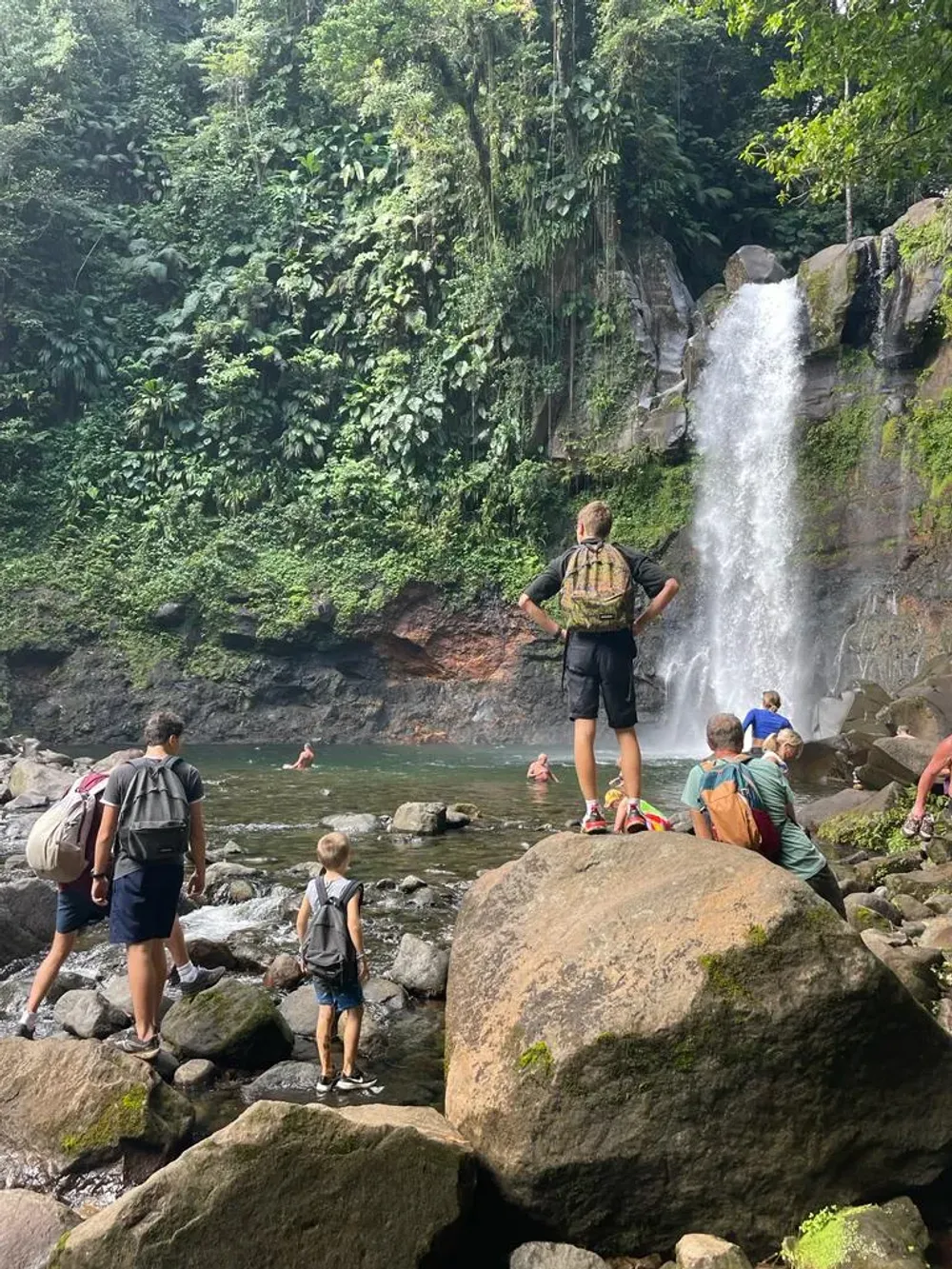
If you’re planning a hike to the Carbet Falls, you’ll quickly run into the same question all our travellers ask: should you aim for the first, the second or the third waterfall? After dozens of trips out there with families and with sporty couples alike, here’s our honest answer: it all depends on your fitness level, your time and the weather on the day. This guide compares the three waterfalls, with the real condition of the trails, the prices and the durations we’ve actually clocked on the ground.
The Carbet Falls in a nutshell
The three Carbet Falls are fed by the Grand Carbet river, which tumbles down the eastern flank of La Soufrière (1,467 m), in the commune of Capesterre-Belle-Eau, in Basse-Terre. Managed by the Guadeloupe National Park, the site is one of the most visited natural attractions in the Lesser Antilles.
Three waterfalls, three moods:
- First fall: 115 m high, the most spectacular, reserved for seasoned hikers.
- Second fall: 110 m, the star of the site, accessible to almost everyone in 20 to 25 minutes.
- Third fall: just 20 m, but the highest flow. Trail officially closed for several years now.
Site access and prices
- From the village of Saint-Sauveur (Capesterre-Belle-Eau), follow the Route de l’Habituée (D4) for about 8 km to the surfaced car park, at 600 m altitude.
- Allow 45 minutes’ drive from Pointe-à-Pitre (about 35 km) and 1 hour from Sainte-Anne or Saint-François.
- Site access: around €2.50 per adult and €1 per child (free under 6), parking included. Bring some change.
- Generally open from 8 a.m. to 4.30 p.m.: arrive before 9 a.m. for the light, no tour groups and a lower risk of showers.
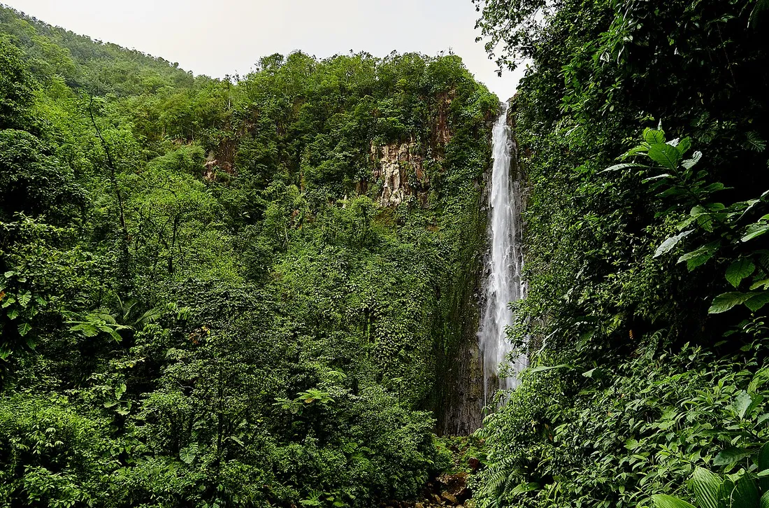
Second Carbet Fall: the family choice (and the right call for 80% of visitors)
The second Carbet Fall is the one we recommend to most of our travellers: a wide trail, stone-paved over nearly the whole route, with footbridges and steps.
- Duration: 20 to 25 minutes one way from the car park, so about 45 minutes to 1 hour round trip with photo stops.
- Elevation gain: around a hundred metres, gradual.
- Level: easy. We’ve taken 4-year-olds and 75-year-old visitors up there without any trouble.
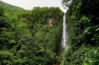
- At the end: a viewing platform facing the 110 m veil of water that spills from the volcanic cliff. The spray reaches you on high-flow days.
An important point, often poorly explained: you don’t swim at the foot of the second fall. Since the rockslides triggered by the 2004 earthquake, access to the pool has been forbidden and the trail stops at the secured viewing platform. The panorama remains one of the most photogenic in Guadeloupe all the same.
Who is it for?
Families with young children, travellers in a hurry combining the fall with the nearby Grand Étang, and anyone who wants maximum “wow” for minimum effort.
First Carbet Fall: the route for seasoned hikers
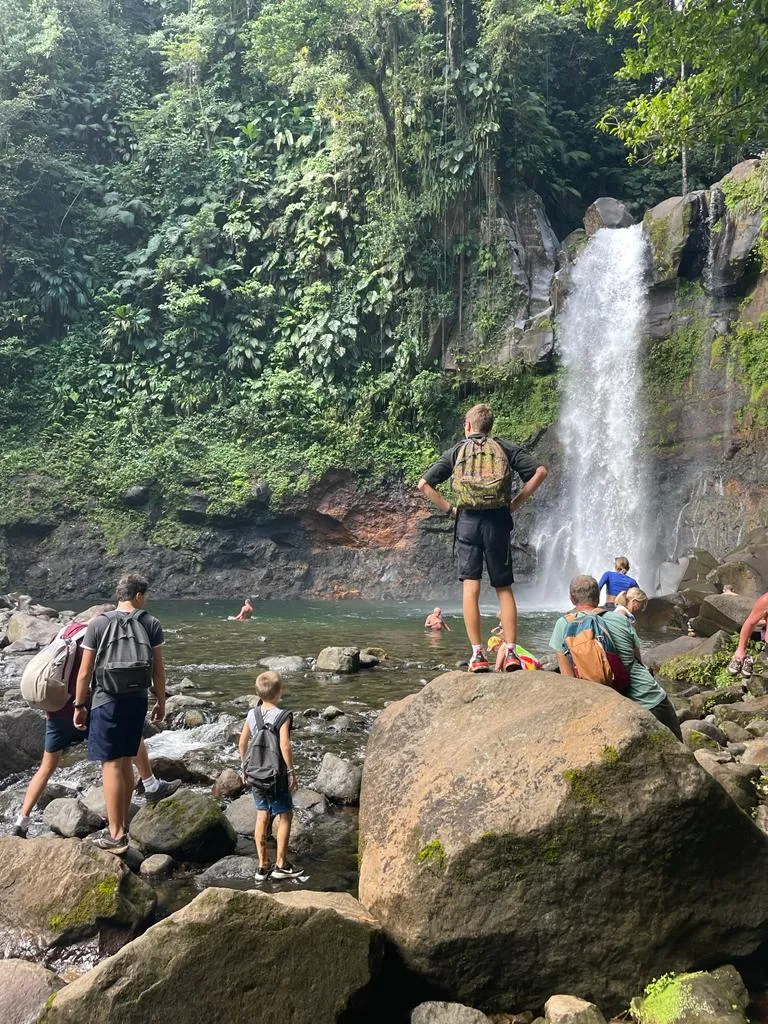
The first fall, the highest at 115 m, has to be earned. The trail starts from the same car park but quickly changes character: slippery roots, high steps, muddy stretches, a ladder and a fording of the Grand Carbet river.
- Duration: 1 hr 45 to 2 hr 30 round trip depending on your pace and the state of the ground.
- Elevation gain: about 300 m cumulative, with steep sections.
- Level: demanding. Hiking shoes with lugged soles are essential; flip-flops are a no-go.
- Reward: an overhanging viewpoint onto the two tiers of the waterfall, in the heart of a montane forest carpeted with tree ferns — and ten times fewer people than at the second fall’s viewing platform.
Our on-the-ground tip: turn back if the river is high or the rain heavy. The ford becomes dangerous in spate, common during the wet season (June to November). Between December and April, conditions are far more reliable. Check the National Park noticeboard at the entrance: the trail status is updated there, and the first fall is occasionally closed after heavy rain.
Who is it for?
Regular hikers, photographers, travellers who’ve already seen the second fall and want a wilder version of the Basse-Terre waterfall par excellence.
Third Carbet Fall: closed, don’t risk it
Let’s be clear, because many blogs keep it vague: the trail to the third fall is officially closed and has been for several years due to recurring rockslides. Only 20 m high but boasting the strongest flow of the three, it was once reached via Routhiers, on the heights of Capesterre-Belle-Eau.
Every season, visitors venture there anyway and some end up airlifted out: the area is unstable, unmaintained and out of phone coverage in places. Until the National Park reopens the route, the third fall isn’t part of the options — the first and second offer plenty to fill a day.