When travellers mention the Amazonian Park of French Guiana, I can see the spark light up in their eyes straight away: primary rainforest, vast rivers, Amerindian and Bushinengé villages. Then comes the awkward question: “So how exactly do we get there?” And that’s where the confusion begins. Many picture a park with an entrance, a car park and a ticket booth, like on Réunion or in mainland France. The reality in French Guiana is very different, and it’s precisely what you need to understand before booking your flights.
As a resident who has been guiding visitors for several years, let me walk you through the essentials: what this park really is, how you reach it, which permits are sometimes required, and through which villages you enter this wild part of the territory.
The largest national park in France: what are we really talking about?
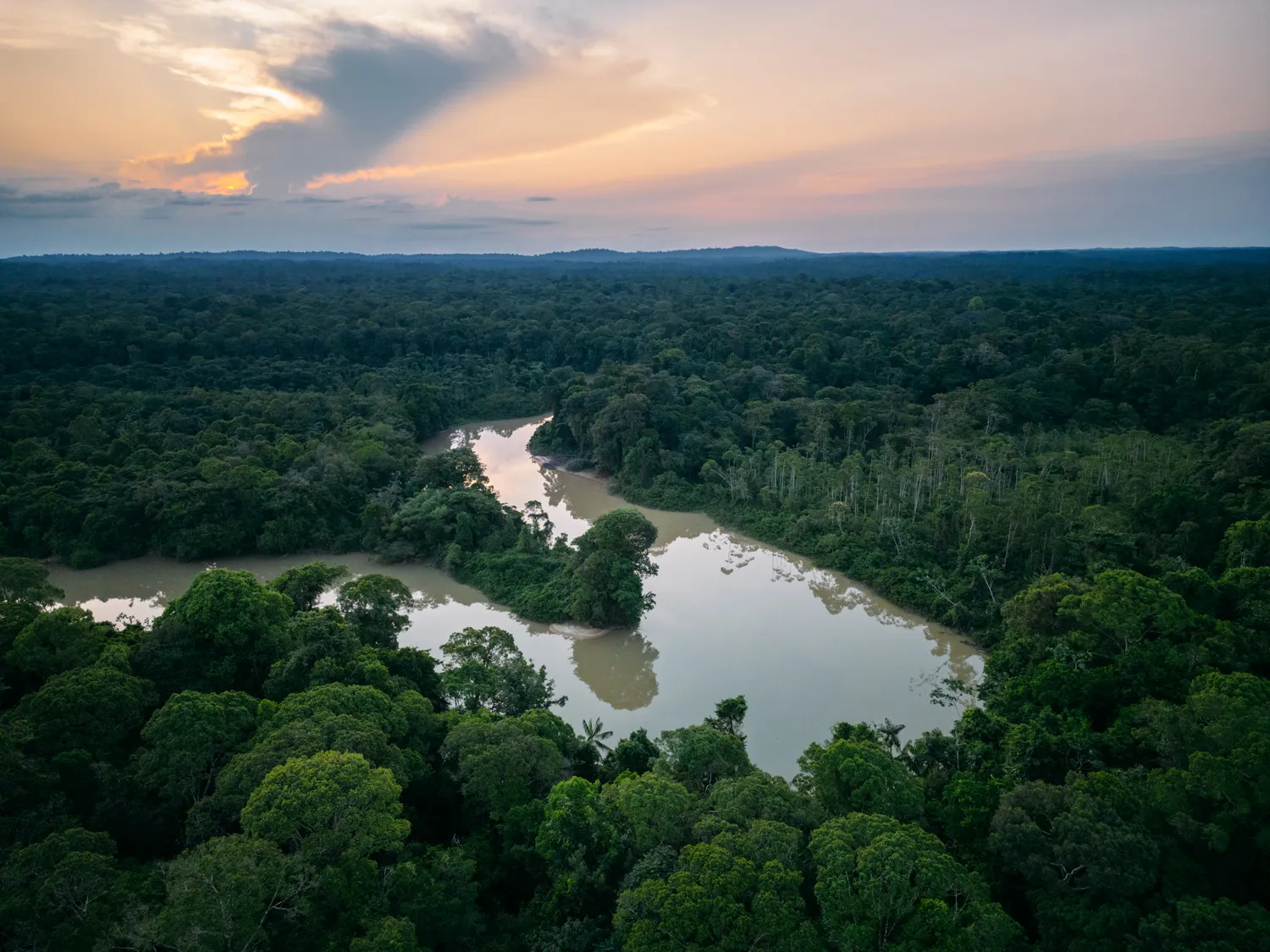
The Amazonian Park of French Guiana covers roughly 3.4 million hectares, nearly 40% of French Guiana’s territory. It is, by far, the largest national park in France and in the European Union. To put it vividly: it is bigger than Belgium.
But beware of the most common misconception. This is not an empty, uninhabited space that you can roam freely. The park is divided into two zones:
- The park core, heavily protected, occupying the deep south of the territory.
- The free-membership zone, home to communities (Wayana, Wayãpi, Teko, Aluku…) spread across five municipalities: Camopi, Maripasoula, Papaïchton, Saül and Saint-Élie.
What surprises visitors is that people live inside the park, sometimes for centuries. So you’re not in a “nature reserve” in the classic sense, but on an inhabited territory, with its own way of life, customs and organisation. Respecting it is the first condition for a beautiful journey.
How do you get to the Amazonian Park of French Guiana?
Here’s the crucial point: there is no road leading to the park core. You reach it in two ways.
By plane (the most common option)
Regular small-aircraft flights link Cayenne to the southern villages. The main destinations:
- Maripasoula: about a 1-hour flight from Cayenne, several connections per week. It’s the great gateway to the Upper Maroni.
- Saül: a historic gold-miners’ village deep in the forest, beloved by hikers, accessible almost exclusively by plane (about a 1h15 flight).
- Maripasoula then serves as a base for travelling up the river by pirogue.
Expect generally between €150 and €250 for a one-way ticket depending on the destination and season. Seats are limited: book several weeks in advance, especially in the dry season.
By pirogue (the authentic experience)
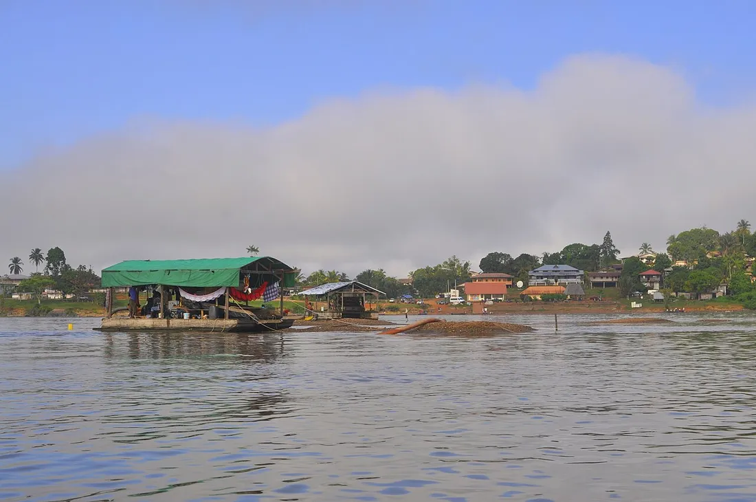
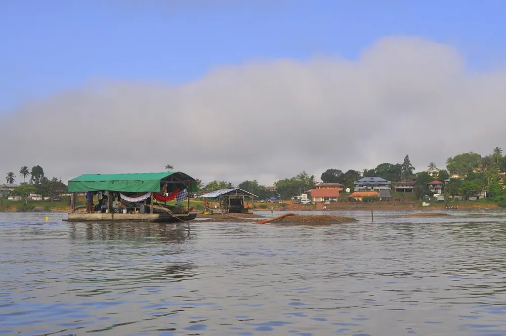
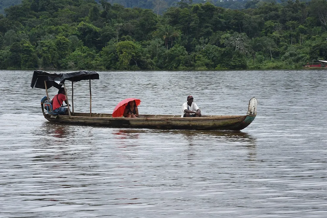
The other route is the river. From Maripasoula, you travel up the Maroni by motorised pirogue toward the Amerindian villages of the Upper Maroni. It’s long, sometimes several hours, punctuated by impressive rapids (locally called sauts). A day of pirogue travel with a boatman is often negotiated between €200 and €400 depending on the distance and the fuel, which is expensive in the south.
To reach Maripasoula overland and then by river, many people first pass through Saint-Laurent-du-Maroni (a 2.5- to 3-hour drive from Cayenne), the classic starting point for trips down and up the river.
Permits: what to know before you go
This is THE misunderstood subject. Here’s the simple rule to remember.
To move around the free-membership zone and visit the towns (Maripasoula, Papaïchton, Saül…), no special permit is required: you’re in France, with your ID card in hand.
However:
- To visit certain border municipalities such as Camopi and the Upper Oyapock, a prefectural permit is required, as it is a restricted-access zone. The application is made in advance with State services.
- To enter the park core or approach the Amerindian villages of the Upper Maroni, custom dictates going through a local approved guide or operator and obtaining the agreement of the communities. You don’t just show up at people’s homes unannounced.
My on-the-ground advice: never attempt an improvised solo adventure. Go through a local professional. Not only is it more respectful, it’s also a matter of safety in an environment where rescue is several hours away.
The gateway villages to know
Each gateway has its own character. Here are the main ones.
Maripasoula
The largest municipality in France by surface area, it’s the true crossroads of the south-west. You’ll find shops, simple accommodation and boatmen. It’s from here that most Upper Maroni expeditions set off.
Papaïchton
Downstream from Maripasoula, this Aluku (Bushinengé) town is rooted in the history of the river. Ideal for understanding the culture of the descendants of the Maroons.
Saül
A case apart: isolated in the heart of the forest, with no direct road or river connection. It’s a hikers’ paradise, with marked trails around the village. People come here for the primary rainforest, full stop.
Camopi
On the Oyapock, on the eastern side, in a restricted zone. Wayãpi and Teko territory, to be discovered only with a permit and a guide.